

Pantoll Trailhead, Mt Tamalpais State Park
트레일
4.7
6 건의 리뷰 반영
리뷰
Ad
Adena B
66 month ago
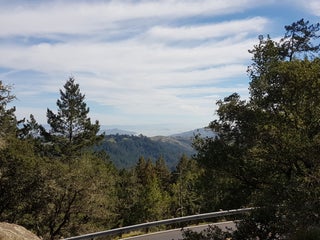
Steep Ravine hike is great. Lush forests with beautiful moss. The views are wonderful and on a clear day you can see all the way to SF.
Ro
Ros H
112 month ago
Steep Ravine Trail in either direction is one of the best ways to see Mt Tam.
Re
Reuel D
121 month ago
Steep ravine trail in the rain!!
Re
Renganathan R
123 month ago
Matt Davis trail down to Stinson beach and then the Dipsea Trail/Steep Ravine trail back to the ranger station.
Er
Eric P
124 month ago
Bring lots of water
Ju
June
128 month ago
4.3 mile loop hike is easy. A mixture of shade and full sun / Dirt trails and fire roads / 2 1/2 hours. From http://www.bahiker.com/
-
Panoramic Highway (Pan Toll Rd), 밀밸리, CA 94941, 미국, GPS: 37.903847,-122.604225